
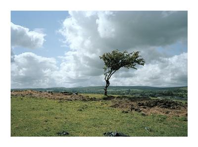
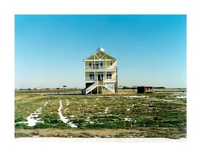
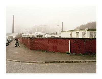
52° 20' 6.2772'' N / 2° 16' 48.6408'' W / 21.514 m
By Mark Adams
2008 - 2013
© Mark Adams
From the project - Waterways, examining both perennial and temporal states of England’s inland waterways with a particular focus on canals. The project continues with a recurrent theme - exploring the concept of nature as either a regenerative or debilitated component in both the urban and rural environment.

Join Axis
We support artists
Funding, visibility, connection and practical help.
Membership includes £15 million of Public Liability Insurance!