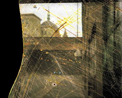
Ordos Trace
By
Joe Duffy
2013 - 2014
Dimensions
different sizes
As one of the worlds newest cities Ordos was built to capitalise on China’s coal mining boom and as such is still a city in the process of being built, inhabited and awaiting use. Having been negatively depicted in media articles as a ‘ghost city’ and victim of speculative property building boom and bust the artist here examines the space as a city in the process of becoming, a space of potential.
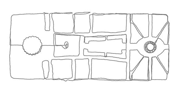
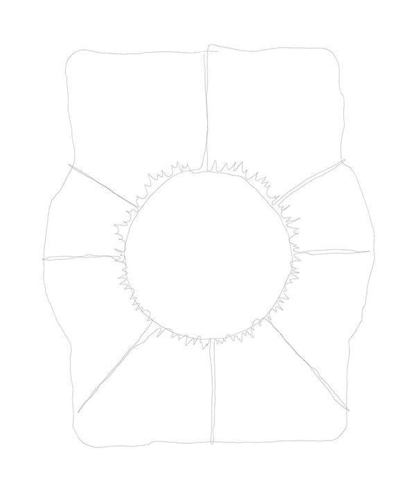
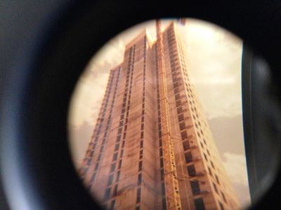
The gps images acting then as sketches, refer to a hand drawn blue print to bring the subjective relationship of the communities which will possibly in time populate and create the city. The subjective rendering of movement through the public spaces of the city, it’s parks and monumental public buildings show the scale of design undertaken, the carefully detailed and state sanctioned planning. The public is juxtaposed with the private through a series of images which draw residential areas, apartment blocks and communal gardens alongside private developments still in construction.
The use of a gps device as a tool, with the body as a pencil or recording device through physical environments is created by converting the gps data points using software to create a digital drawing through mapped space. The gps images of the artists mapping of the public, private, civic and residential spaces refer back to the notion of the ghost city through the absence of presence. This also acts as a trace, an impression of Ordos that encounters and reveals notions of real and imagined knowledge of place.
Helping Artists Keep Going
Axis is an artist-led charity supporting contemporary visual artists with resources, connection, and visibility.
